Another great weekend at the Parish Church with lots of stands on view from a wide variety of heritage groups and talks on many interesting topics over the two day event. We of course had our stand set up by Chris Drabble displaying the latest results and finds form our Aspull Ring Ditch Project. 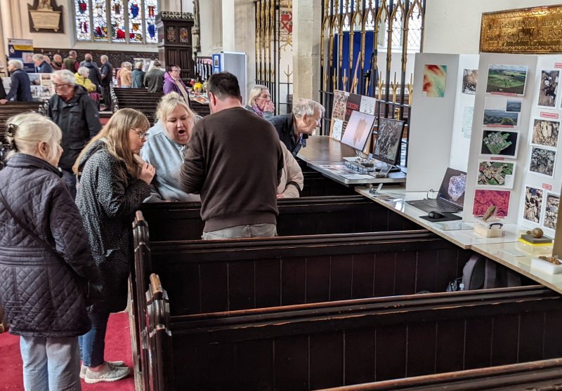 The event was opened by Wigan’s Mayor Jenny Bullen, the Rev Roland Harvey and St John’s Ambulance President Ian Bithell (background in this photo is Mervyn Reeves, the event organiser, always on hand to help with any issues). Chris was able to spend some time explaining our work to them.
 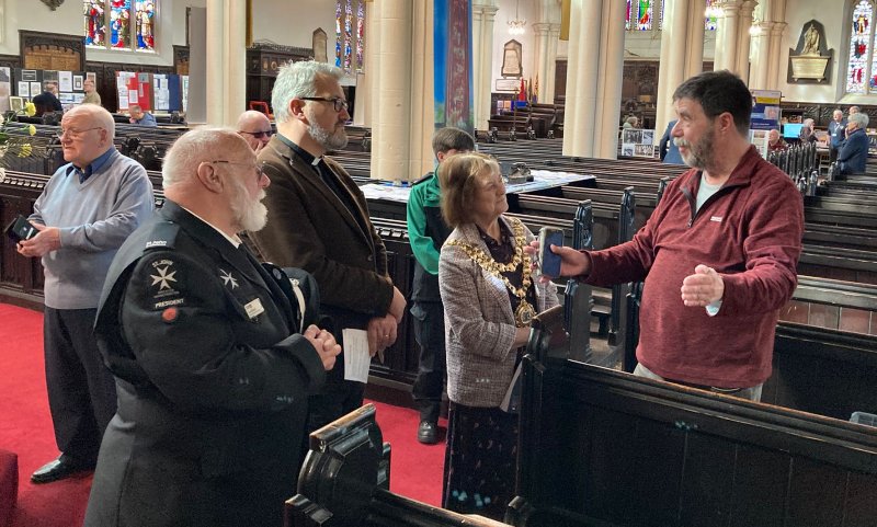 As well as showing them the finds Chris had a rolling video and 3D computer models of the excavations.
 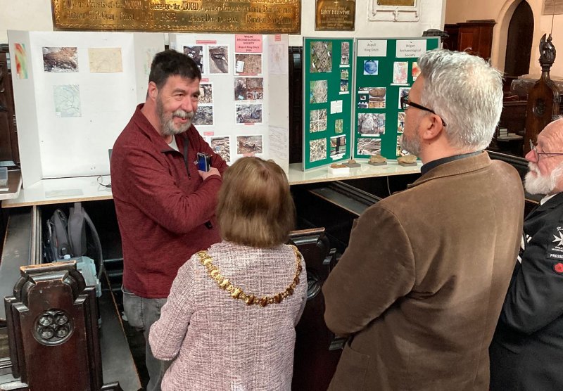 Chris was also able to talk with the team from the Wigan Museum stand who showed great interest in our fascinating four year project (artefact from our dig will likely end up in the Museum).
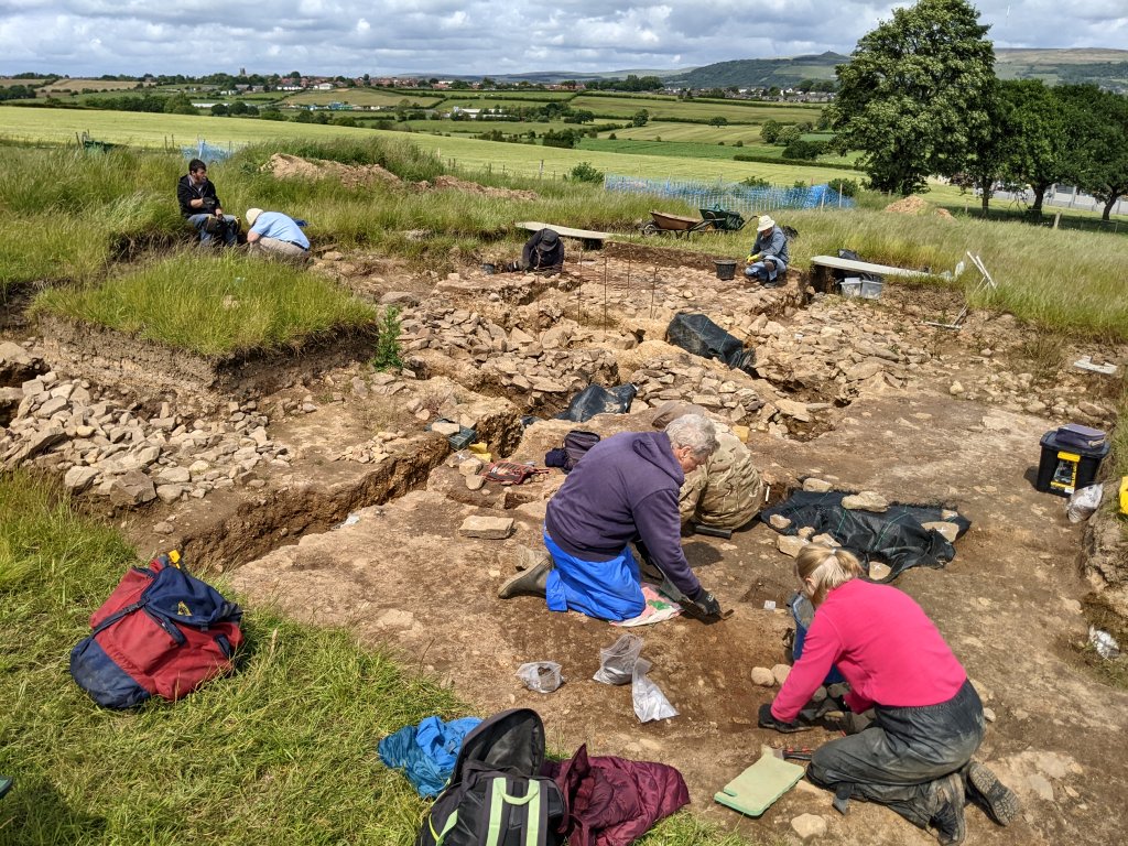
Patrick was on the programme of talks on the Friday with a presentation of our project and on the Saturday I was able to join adding information about Roman Wigan. This included the huge Roman bathhouse found in 2005 when the Grand Arcade was developed and our long-term quest to find the Roman roads coming in and out of the town. This, together with a rolling presentation of our Parish Church Tower project, attracted a quite lot of attention to our stand in the afternoon. 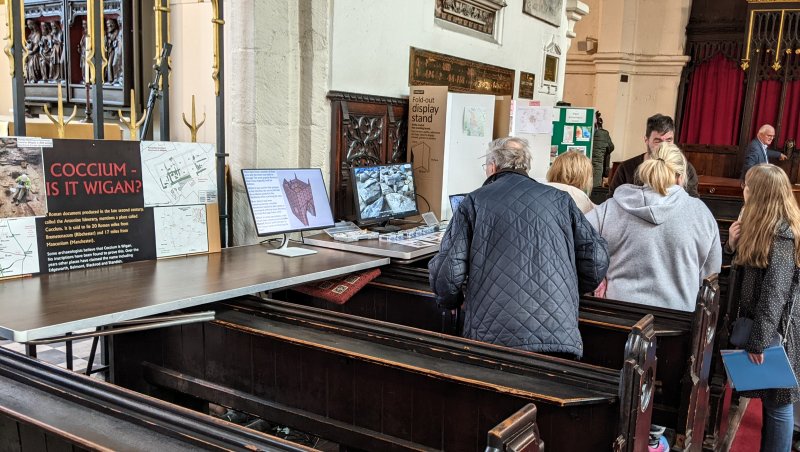
Just across from us Phil Livesey had his Friends of Wall Hey stand showing off all the coal mining memorabilia they’ve managed to collect from around the area. The Friends aim is to try to get funding for the preservation of the large ventilation shaft located on Haigh Road in Aspull. 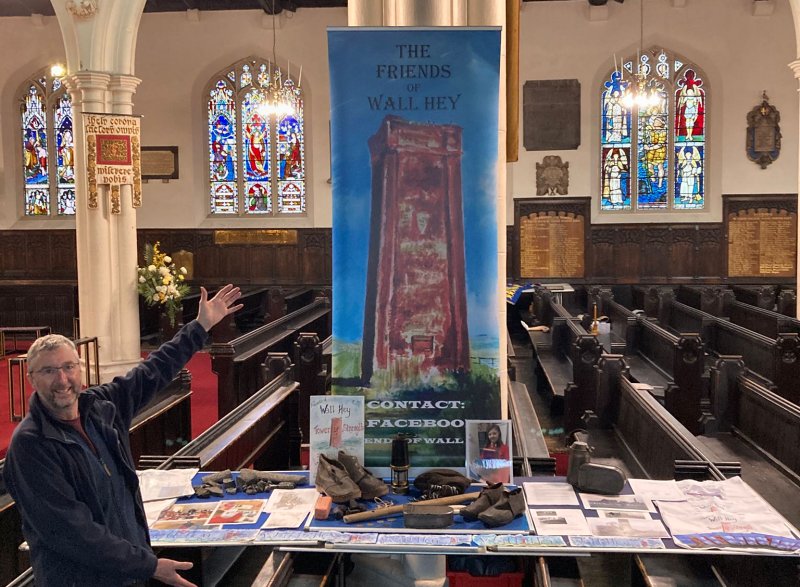 It was originally the site of a pit shaft sunk by Lord Crawford of Haigh in the mid 19th century, initially to exploit the the cannel mine but later deepened to reach the King Coal and Yard Seam. Towards the end of the century it was converted to an up-cast ventilation shaft with a furnace at its base to draw fresh air through the mine working on the Crawford estate. It is a fascinating relic from the Victorian era and deserves recognition as a rare example surviving from our intense industrial past. Phil and his team deserve every credit for their efforts in trying to secure its future. You can find more details about it on the Buildings Preservation website here.
You can also find out more about all the other fascinating stands and talks on the Festival’s Facebook site here.
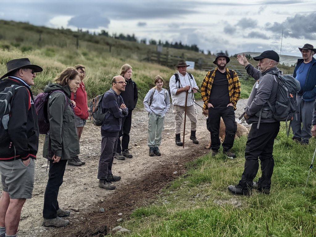 He then led the way across the moor to our first site, i.e. Pike Stones. This monument is referred to in its scheduling (No.1009120) as being a chambered long cairn dating from the early to mid Neolothic (i.e. 3400 – 2400 BC). All that is left though is a group of large gritstone slabs leaning against one another. Originally it would have been covered by a large mound perhaps 48m long and up to 19m wide. (