Wednesday 6th February. This month it’s our AGM but after the usual formalities, Eric Walter (our Chairman) will be giving a presentation explaining the future research projects we are planning for the Society. This year we plan to initiate these projects so that we can hopefully involve members who are not able to do excavation work. The research will involve visiting libraries, visiting sites, photographing and recording the features we see. The Projects include a Town Centre Survey, a Routeway Furniture Survey, a Graveyards Project and a Historic Building Survey. We will also be carrying on with our survey of the Pingot site which was reviewed in last month’s Newsletter (No. 159).
December Meeting
Wednesday 5th December. This month we have our old friend John Johnson from the Horus Egyptology Society who will be telling us about the latest developments on the West Bank at Luxor and particularly the excavations at the mortuary temple of Amenhotep III. The only evidence for this temple are the two huge statues entitled Colossi of Memnon. It turns out however that this temple was enormous, even bigger than Karnak itself. It disappeared quite early on, probably because it was mainly made of mud brick and the constant flooding from the Nile caused it to deteriorate quickly – the rest was robbed by later pharaohs to built their temples and his statues reused changing his name with theirs (even the massive granite statue of Rameses the great in the Ramesseum was probably originally Amenhotep’s). Excavations by German archaeologists over that past 40 years have uncovered more and more remains from this site and are gradually piecing together evidence to show the this pharaoh was probably the greatest builder the New Kingdom and maybe of all time in ancient Egypt. Sounds like a great talk.
Pingot Valley Site Visit
Our attention was drawn to this site last year by Derek Winstanley who now lives in the US. He had noticed on a recent visit that there were remains of the old lime kiln marked on the 6 inch OS map of 1849. I’d looked at the site last year but other commitments at the time meant that it’s only now that perhaps we’re able to spend some time on it (see new ‘Pingot Valley‘ tab for details).
November Meeting
Wednesday 7th November. – This month Norman Redhead, from the new Greater Manchester Archaeological Advisory Services, will be joining us to give us a talk on the Historic Landscape Characterisation project. This nationally commissioned initiative started in 2007 and ran for 4.5 years. It culminated in the production of a huge database which is controlled by a programme called a Graphic Information System. By linking historic, geographic and social records together with maps, both historical and modern, it can be used to display all kinds of useful information. Norman will be bringing the database with him on his laptop to demonstrate how it can be used. Of particular interest to us will be its use in identifying areas of archaeological sensitivity and how the historic character of these areas can be studied.
Site at Glazebury
On a misty morning Last Sunday Andy Wilock and I visited a site on the edge of Chat Moss near Glazebury. We were invited there by Marlene Nolan of Culcheth History Society who had spotted the site while field walking. It seemed to her to be some kind of defensive earth work lying at a strategic point on the banks of the River Glaze. You may be wondering why she asked us to look at this site so far away from Wigan – but, surprising as it may seem, quite a lot of Chat Moss does lie within the Wigan Metro Borough.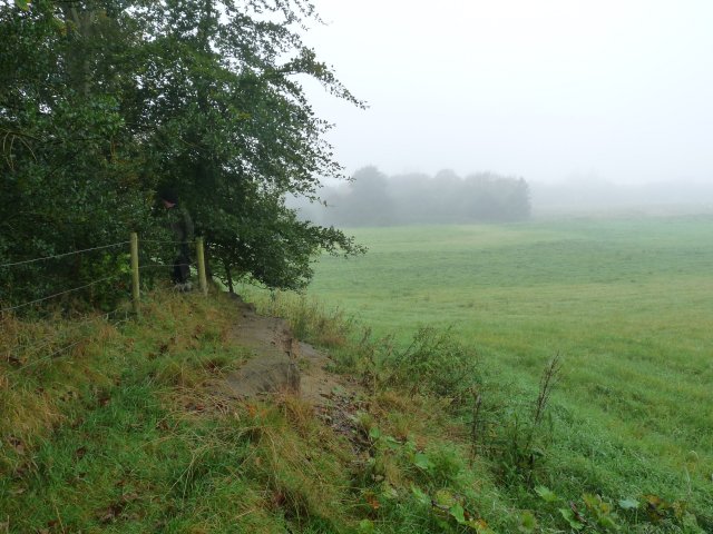
The site is located north of Moss Lane which branches off Hey Shoot Lane about 200m east of the River Glaze near the Raven Pub. It’s surrounded on three sides by a large bank with a ditch on the south side. The interior is flooded up to a point where a cut in the bank allows the water to escape. 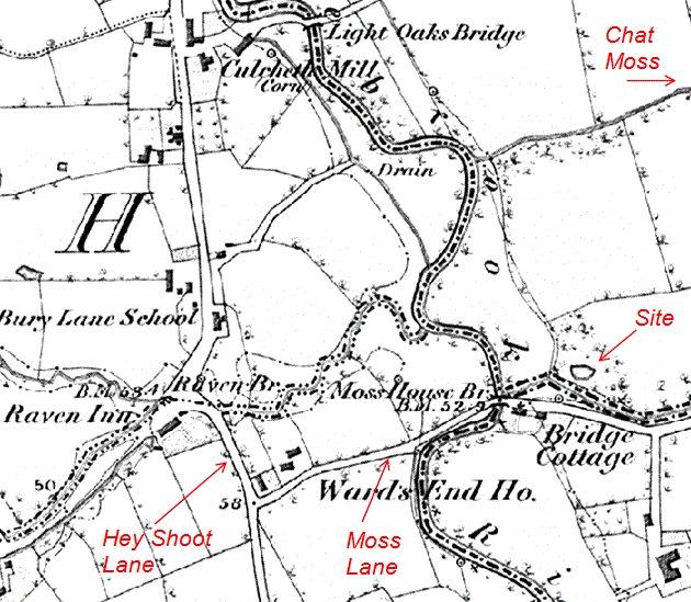
Judging from the maturity of the trees we perceive the site must be at least a 200 or 300 years old but a quick check on the 6″ OS map of 1846 gives no indication of its origin. The history of the area suggests a possible Civil War connection as apparently there was a large skirmish in the vicinity. Another slight possibility is that it could be much older as an Iron Age site had been discovered a few years ago only about one mile south of this one.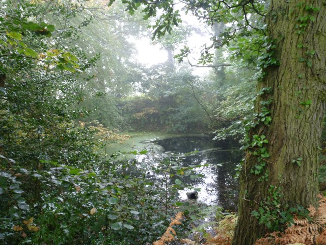
More likely however it’s the product of some pre-Victorian industrial activity such as sand, stone or clay extraction – a trench across the embankment may give the answer but whether we’d get permission is another thing.
Angers Trips
For those who missed our last meeting here is the talk I presented on our trips to our twin city in France (see tab)
October Meeting
Tuesday 2nd October – note the change of day – a previously booked wedding at our venue has forced us to change from our usual Wednesday. It also means that our long-booked speaker is not now available. There has been a suggestion that we review some of our previous Society trips – even including the ones we made to Angers in Frances in the early 2000’s. We made three visits there in total and there is enough material available for a presentation on this subject alone. There has also been some suggestions about the possibility of making a return visit – a review of these trips may prompt a review of the possibilities.
Rectory Site Visit
Managed to get down to the Rectory this Sunday to carry out necessary maintenance (mainly pumping out the water) and see if we could make some progress on the new features we discovered last time – including something strange lurking at the bottom of the deep trench (if you want to see what we found check out the Rectory Project Archive – Area 1).
September Meeting
Wednesday 5th September – in the Standish Suit at the Brocket Arms (7.30pm as usual). This month we have Brian Grimsditch who is Senior Archaeologist at the Centre for Applied Archaeology (CfAA) at Salford University. He has been involved in the running of the Dig Greater Manchester project which included the dig at Etherstone Hall in Leigh earlier this year. His talk however will be on something a little different. Besthorpe is a project that Brian has been involved with over a number year now. Predominantly a Romano-British site, but evidence is starting to emerge of earlier occupation – from Mesolithic to late Iron Age. This takes the form of prehistoric pottery, polished stone axes, metal artefacts and lots of worked flint. I’m sure it will be another fascinating talk from Brian – hope to see you there.
Summer Trip
This year’s summer trip (to Penrith) turned out to be a wet affair but the inclement conditions did not dampen the enthusiasm our dedicated band (supplemented by a contingent of potential new members) who turned out to brave the elements.
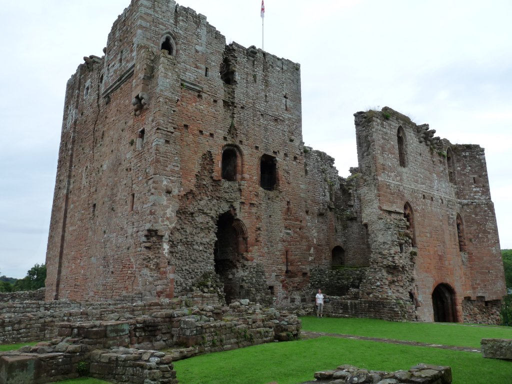
First off, Brougham Castle (apparently pronounced Broom Castle) – it’s an imposing structure originally built by the Vieuxpont’s in the late 12th century.
The castle passed into the Clifford family in the 13th century – Robert Clifford was one of Edward 1st’s knights who helped him to subdue the Scots in the late 13th century early 14th century.
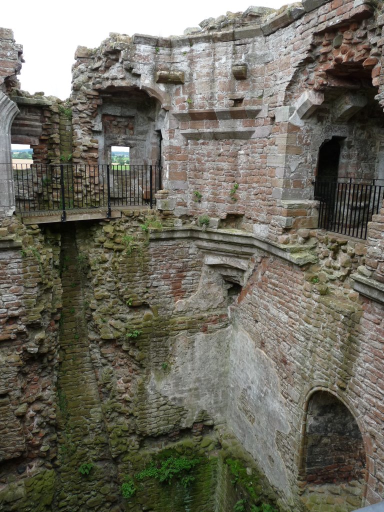
It was Robert who was responsible for many of the extensions to the castle including the top storey of the castles keep.
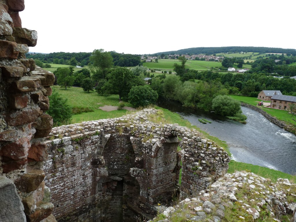
Those of us who ventured to the top of the castle keep were rewarded with an is impressive view. The castle’s strategic position is clear, sitting as it does beside the confluence of the rivers Eamont and Eden . .
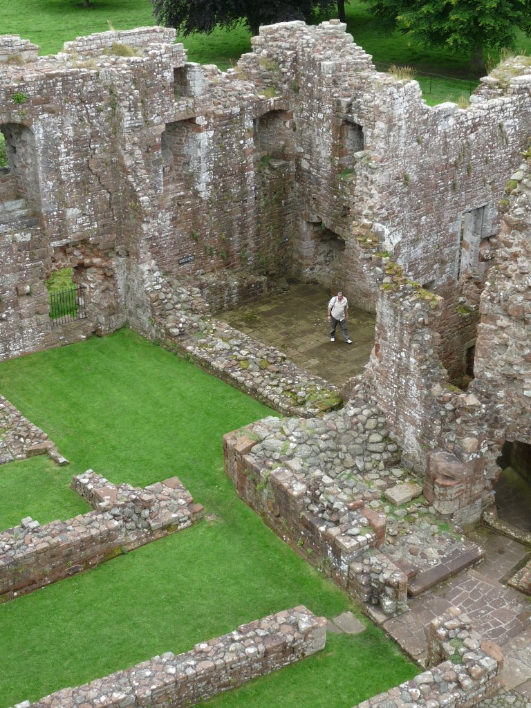
The castle had a long life and was still in use in the 17th century when it was occupied by Lady Anne Clifford. She spent time and money rebuilding it together with other castles an churches in the region. She lived to a grand old age of 86 – when she died in 1676 the castle was abandoned and quickly became a ruin.
Having spent some time wandering around the impressive ruin and viewing the Roman grave stones and a small altar or on display in the sites ticket office, we made our way to Eamont Bridge for lunch. As we left the site we stopped to view the bank and ditch of the Roman fort which lies to the south-east of the castle site.
We had planned to have lunch in the The Crown Hotel which is directly opposite the first of our Pre-historic sites – King Arthur’s Round Table. However, with no signs of life in this pub, we quickly change our plans to the Beehive Inn which was just across the road. Our troubles did not end there however, as the slow service meant that our team got split up, with stragglers having little time to view our first site before being shepherded on to our next.
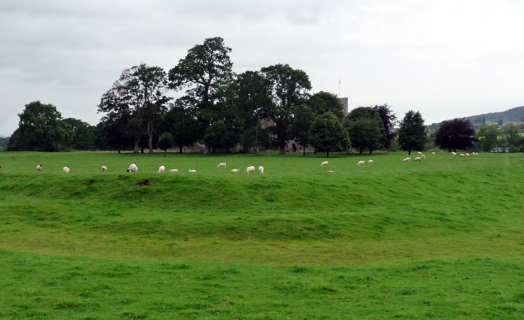
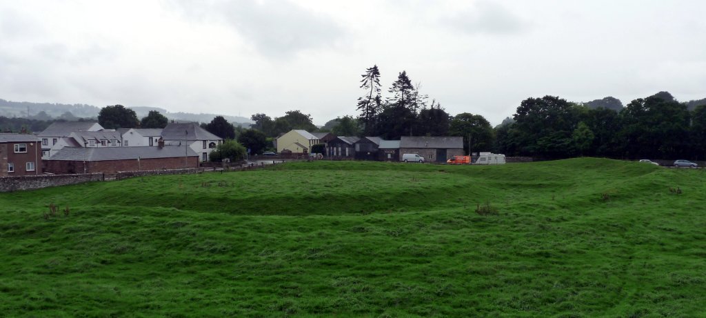
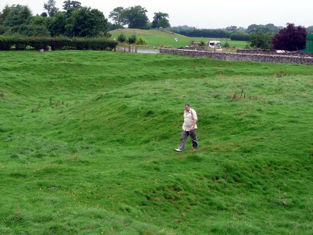
King Arthur’s Round Table is a henge monument dating to the early Bronze age (about 2000 BC – therefore nothing to do the legendary king). It has a pretty standard arrangement consisting of a circular bank with an internal ditch with two entrance. In the 17th century there were 2 standing stones near the northern entrance. However these, and the entrance itself, have now disappeared under the adjacent road. Our next site – Mayburgh Henge – lies only 400m away (as can be seen in the photo) but the entrance is around the other side so it was a little further than it looks.
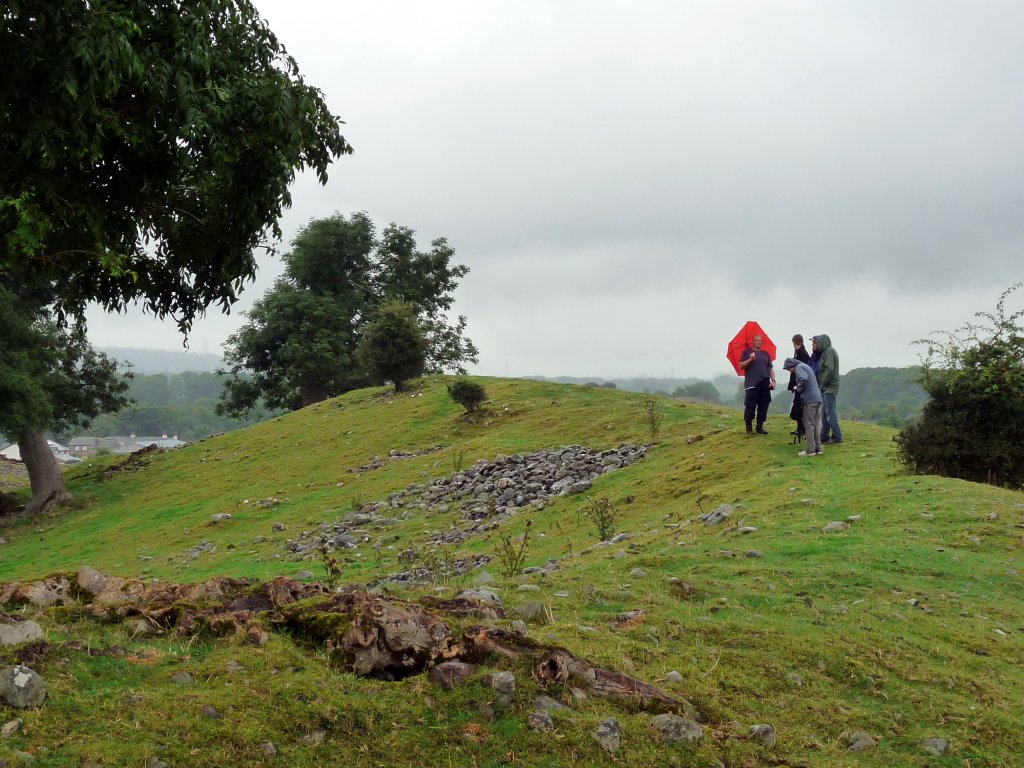
By the time we got there the weather had set in and brollies and raincoats were the order of the day. Mayburgh itself is an unusual henge in that it has a huge circular bank built entirely of stone cobbles. It only has one entrance and no internal ditch.
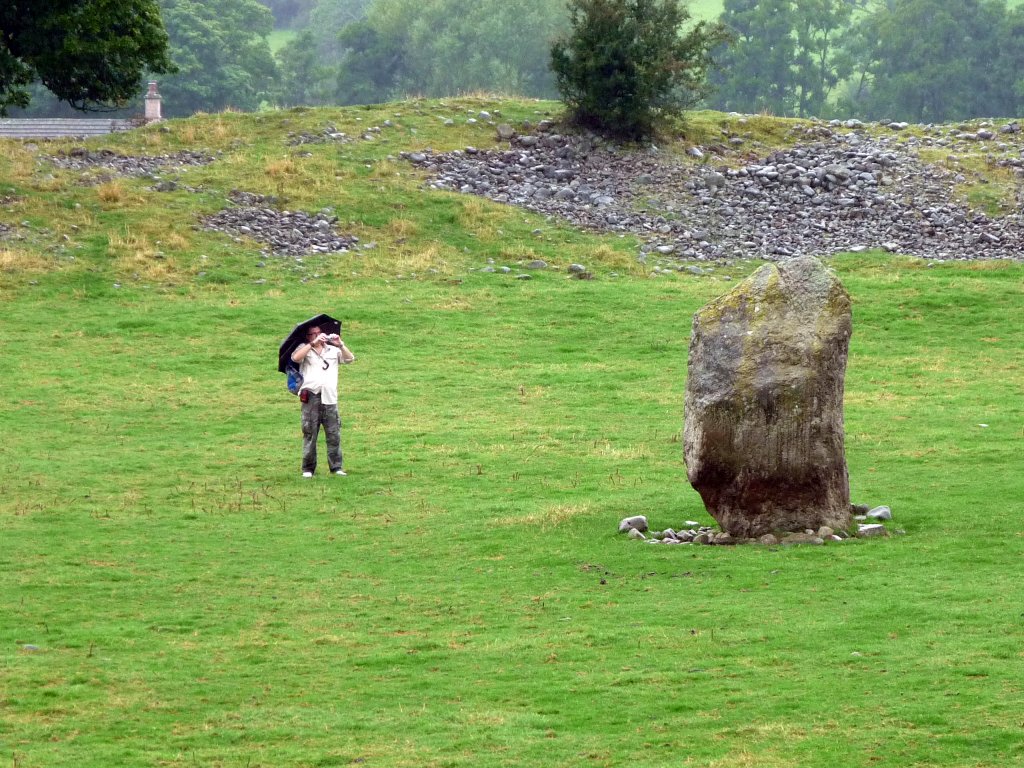
Its single monolith in the centre is 2.8m high. In the 18th century however there were apparently 4 standing stone in the centre with another 4 at the entrance. This henge is thought to be younger then the previous one, dating to somewhere between 2000 and 1000 BC.
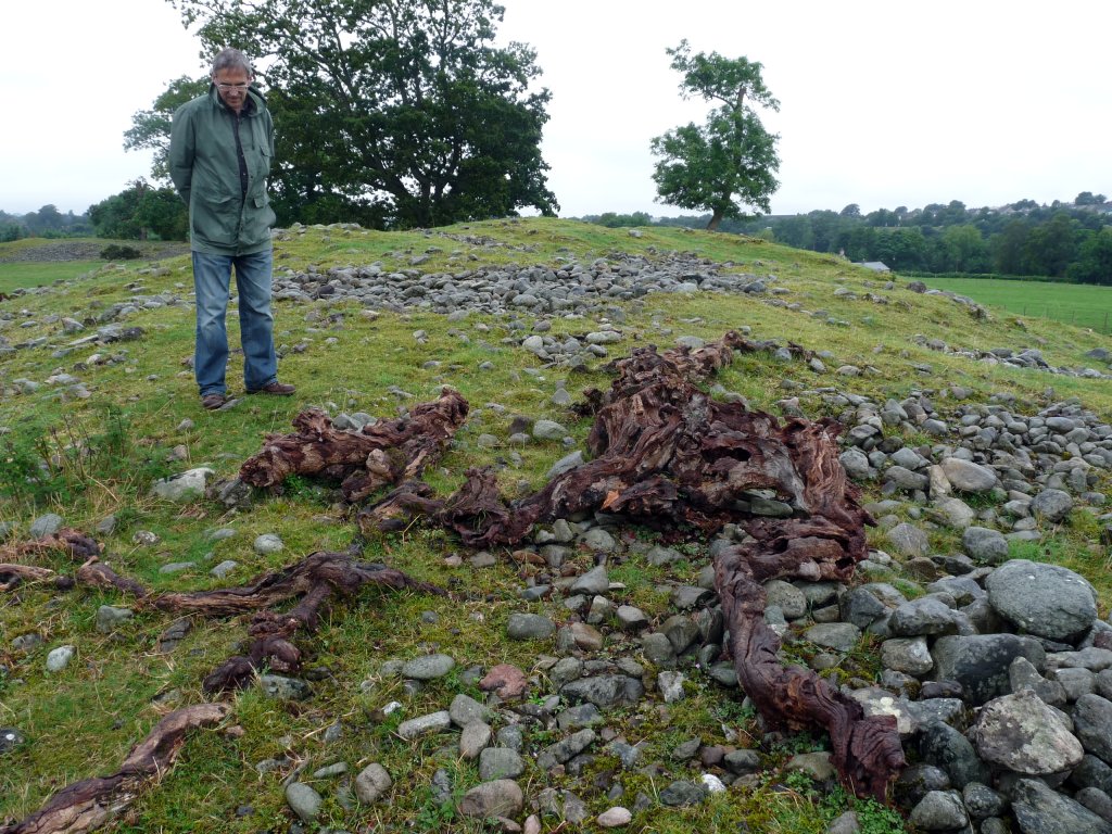
This monster seemingly emerging from the cobbles of the bank is just the roots of an old tree which died many years ago.
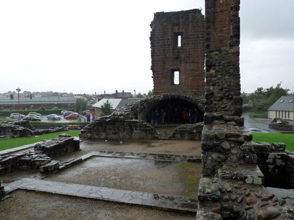
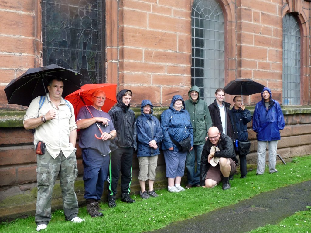
By the time we reached our next site – Penrith Castle – the rain was coming down in sheets. Fortunately parts of the castle’s remains provided us with some shelter (you can just about see us lurking in the shadows).
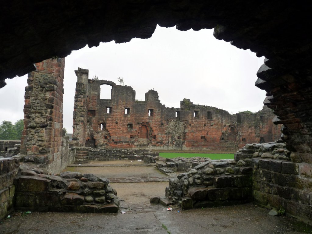
From our shelter we were able to study a good portion of the castles in some comfort. Apparently it was built at the end of the 14th century by Ralph Neville, who was engaged in the defence of the Scottish border. Similar to Brougham the castle was built on the site of a Roman fort emphasising its strategic position.
After seeing enough of Penrith Castle our intrepid band made it’s way in to town to view the last site of the day – ‘Giant’s Thumb’ and Giant’s Grave’ in the grounds of St Andrews Church.
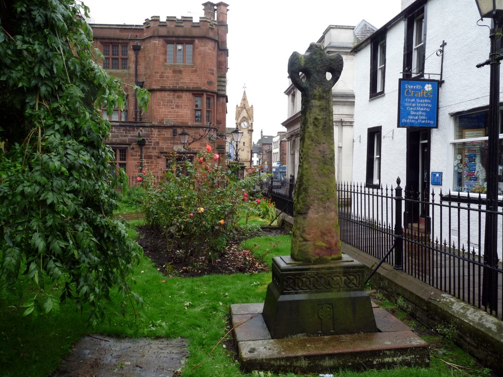
Giant’s Thumb is the remains of a Saxon ‘wheel’ cross dating to 920 AD.
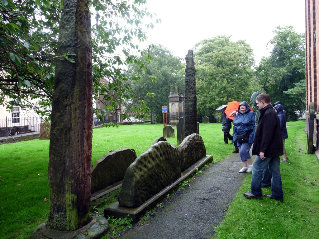
Giant’s Grave is believed to be where Owen Caesarius, King of Cumbria between 900 and 937 AD was buried. It consists of four hog-back stones arranged between two 3m high stone crosses. When the grave was excavated a skeleton, lying beneath a large sword, was revealed . The hog-back stones are thought to represent the wild boar he killed in the nearby Inglewood forest.
Despite the rain, and the slight hiccup with our lunch arrangements, we all managed to enjoy ourselves. We saw a number of sites ranging from the Pre-historic, through Roman to early and late Medieval. Lets hope we have better weather on our next trip.

