
Date: 26th February 2019
Taking advantage of the warm and sunny weather we decided to fly our newly acquired drone over the site to see if we could detect anything of the road. 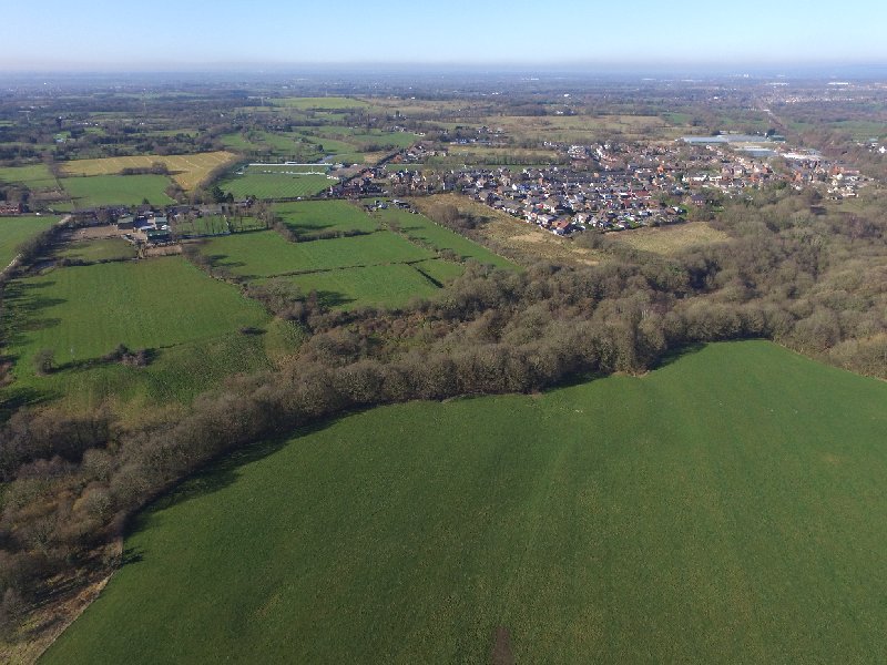 A slight depression can be detected but a better result might obtained if we get another dry summer.
Date: April 2016
Last year (2015) David Ratledge gave the Society a talk on recent discoveries he had made using LiDAR imaging. Of particular interest to us was this image of what he suggests is the Roman road between Coppull and Charnock Richard. It crosses a field called Row High Wood (see below) and looked quite promising so we thought we better have a look.  The best way to get to the site is through old Coppull Ring Mill (Coppull Business Centre) which lies on the west side of Spendmore Lane just south of the main line railway bridge. The field the route crosses is separated from the mill site by a disused railway line that once connected the Blainscough Colliery to the main line. To the north, the field is bounded by a deep ravine which has the Clancutt Brook running through it. When Neil and I arrived on site we noted a path in the field leading from the field gate. It was only when we got into the field that we realised that this wasn’t the line of the road as just to the west of this was the depression in the field which the LiDAR had picked up. The depression was quite subtle and evident on the south side of the field where the railway embankment cut through it (see below looking south along the alignment with the railway embankment cutting across it in the background).
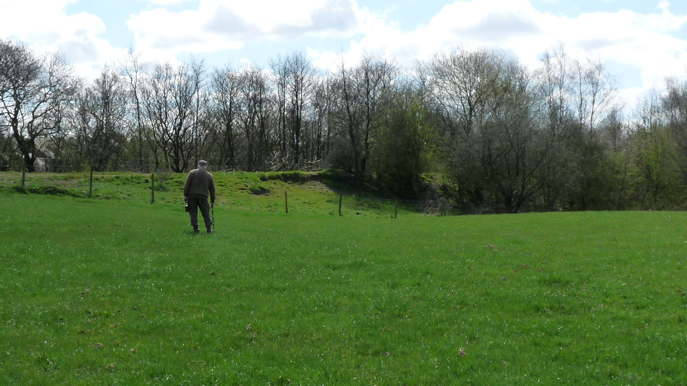 The depression however was more prominent on the north side as it a approached the ravine (although not so evident in the photo – see below).
  It was difficult to estimate the width of the depression but it was certainly big enough for Roman road i.e 8 to 10 metres wide. It is also on the alignment of the road as detected south of Coppull at Bic Bibi Lane. Another clue maybe the name of the farm to the north of the ravine which is called White Gates. The big question however is what happens when the road reaches the ravine.
 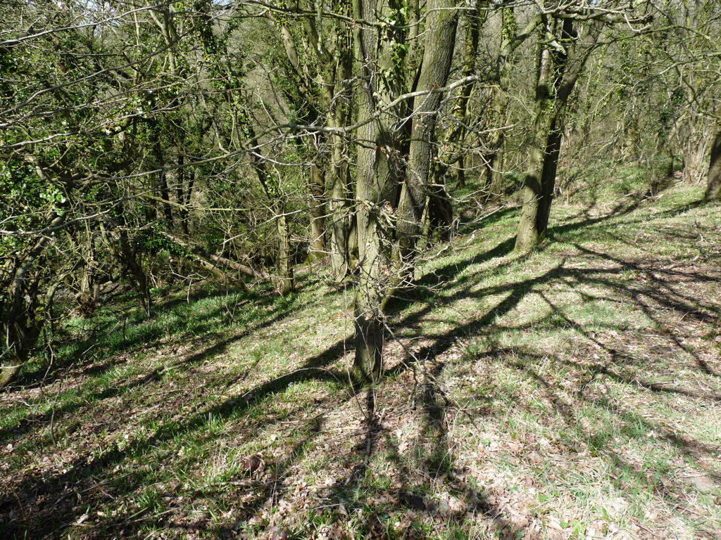 The usual thing is for the road to deviate onto a terrace which enables the traffic to negotiate the steepness of the valley sides. Looking into the ravine the only possible way would be for the road to turn to the right. However there didn’t appear to be anything obvious in the wooded area of the ravine, although there does appear to be a lot of disturbance possibly due to water erosion. There is also an issue with the area to the south of the field as on the other side of the railway embankment there is another ravine; admittedly not as deep but still needing terracing to allow traffic to negotiate it (view looking east across the alignment which is in the middle distance).
 Here there seems to be a possible terrace but again there is much disturbance, but this time it’s more likely to be industrial activity as there plenty evidence of coal mining.
The feature in the field is certainly on the road alignment as projected from the accepted route along Hic Bibi lane south of Coppull but if this is the continuation, it makes you wonder why the Romans didn’t make life easier for them by diverting to the west and avoiding the ravine. Probing in the depression in various areas showed that the sub-soil was a deep layer of soft clay suggesting a resistivity survey would struggle to find anything. Maybe GPR would pick something up if the road is deeply buried. The intention is to find out who owns the field and see if we can get permission to do a survey.